Measurement
R2026bSince R2026b
Transform image data from pixel coordinates into calibrated world units and perform precise geometric measurements. The Visual Inspection Toolbox™ supports these measurement processes:
World-plane mapping — Map images and individual points to a planar measurement surface using camera intrinsics and extrinsics, correcting lens and perspective distortion.
Caliper tools — Measure distances along straight-line profiles, programmatically or interactively.
Geometric fitting — Fit angles, circles, and perpendicular distances to edge features for dimensional measurements, with automatic edge snapping for repeatable placement.
These capabilities support dimensional inspection, part verification, and metrology applications where pass or fail decisions depend on calibrated world unit measurements.
Functions
Featured Examples
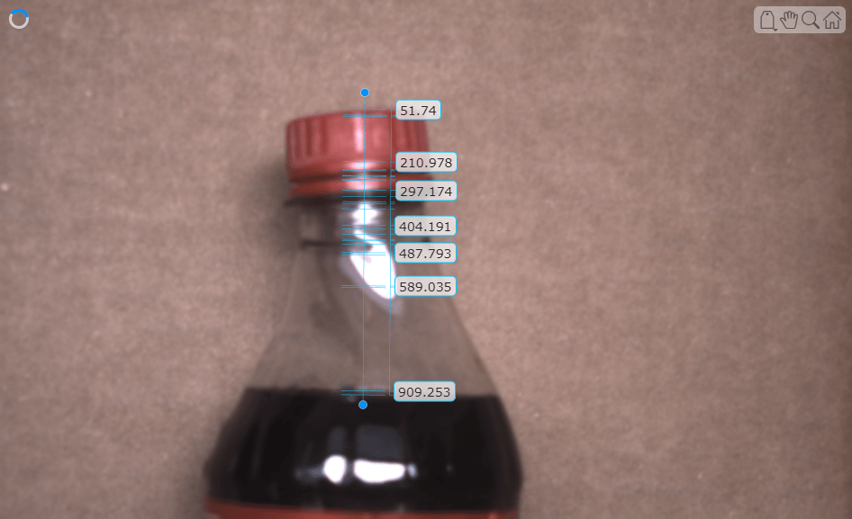
Perform Metrology Edge Measurements and Alignment
Perform distance measurements of fill lines in soda bottles using a caliper tool, and develop a classification model for normal and anomalous fill line images.
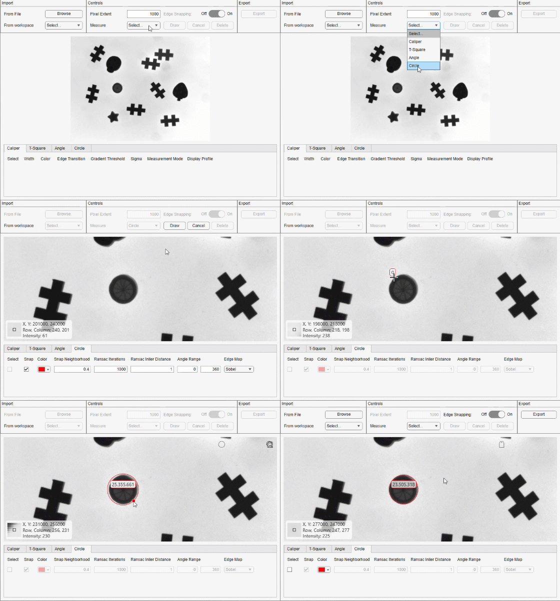
Create an App to Measure Images Using Edge‑Snapping Metrology
Build an app to interactively measure images with edge snapping measurement functions using App Designer.
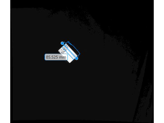
Automate Calibrated Image Measurement Using Shape Matching
Measure objects at subpixel accuracy in calibrated camera images using shape-based matching and caliper tools.
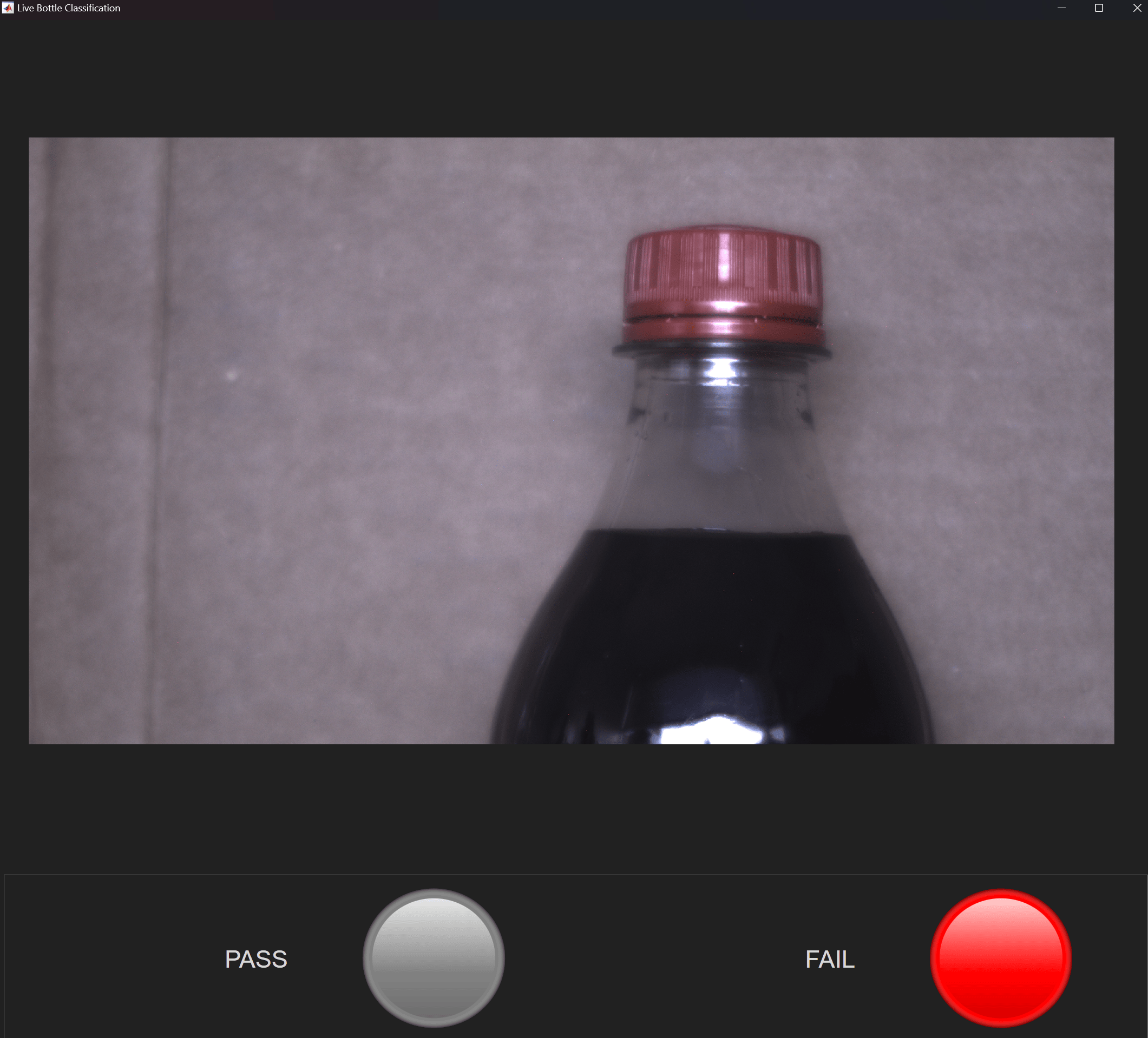
Inspect Bottle Fill Level During Live Image Acquisition
Detect an anomaly in a bottle fill level during live image acquisition using the caliper tool.

