geoplayer
Visualize streaming geographic map data
Description
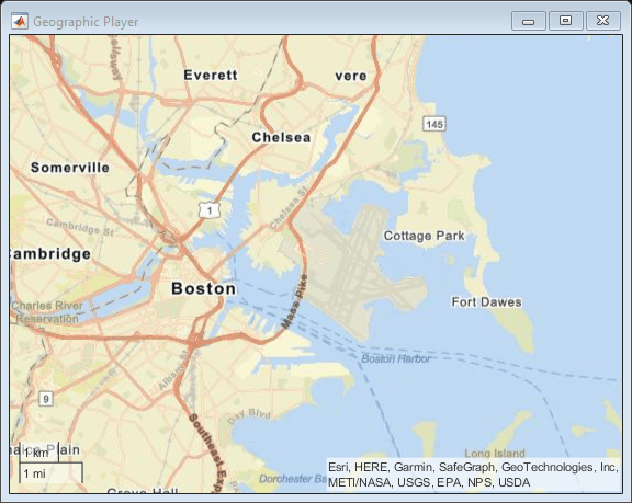
A geoplayer object is a geographic player that displays the
streaming coordinates of a driving route on a map.
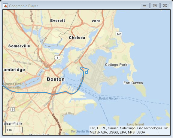
To display the driving route of a vehicle, use the
plotRoutefunction.To display the position of a vehicle as it drives along a route, use the
plotPositionfunction. You can plot the position of multiple vehicles on different routes simultaneously by specifying a unique track ID for each route. For more information, see the'TrackID'name-value pair argument onplotPosition.To change the underlying map, or basemap, of the
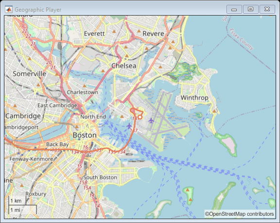
geoplayerobject, update theBasemapproperty of the object. For more information, see Custom Basemaps.
Creation
Syntax
Description
player = geoplayer(___,
sets properties using one or more name-value pairs, in addition to
specifying input arguments from previous syntaxes. For example,
Name,Value)geoplayer(45,0,'HistoryDepth',5) creates a geographic
player centered at the latitude-longitude coordinate (45, 0), and sets the
HistoryDepth property such that the player displays the five
previous geographic coordinates.
Input Arguments
Properties
Object Functions
Examples
Limitations
Geographic map tiles are not available for all locations.
More About
Tips
When the
geoplayerobject plots a position that is outside the current view of the map, the object automatically scrolls the map.
Version History
Introduced in R2018a
See Also
Functions
geobubble|geoaxes|geobasemap|geoplot|geolimits|latlon2local|local2latlon|addCustomBasemap|removeCustomBasemap


